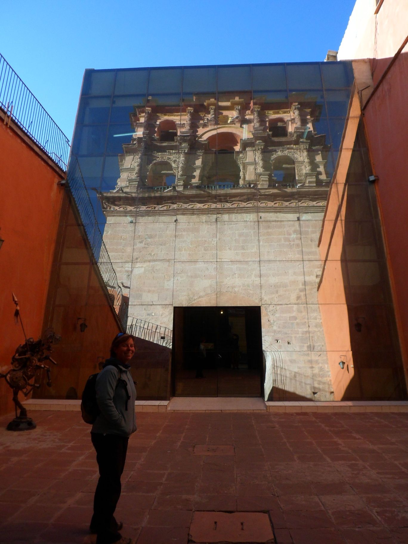
 It takes more than 4 hours on the meanwhile almost fully paved mountain road from Uyuni to Potosi. There are a number of long steep ascends, a few villages and a lot of beautiful rock formations and canyons on the way. After the Spaniards found one of the biggest silver resource in the prominent Cerro de Oro (gold mountain), they not only exploited it full scale with local and African slaves, but as well built a splendid colonial town with numerous churches. Back then, Potosi became the richest town in South America, and the legend says that the streets were plastered with silver and gold - a real El Dorado. With more than 4000 meters above the sea, it is as well the most elevated city today. Small red brick houses creep up the slopes of the surrounding hills. Heavy traffic on the steep and small cobblestone lanes mixes with a good portion of pedestrians. Soon I figured out that my idea to bike with all our stuff from the terminal into the center was not wise with all the fumes, and the little availability to store bikes and luggage. After what seems hours we find a hotel where we could leave our bikes, and stroll off to waste another hour waiting for our lunch in a Cafe.
At the best time of the day we visit the famous the Casa de Moneda and the impressive Torre de Compania Jesus. Walking the narrow cobblestone lanes we marvel at wooden balconies and carved doors on colorful painted old houses. At times, those gates were open to allow a view into the patios as well. Just before dusk we get a guided tour up to the magnificent bell tower of the cathedral. Eager to get to La Paz, eager to get out of the cold of the Altiplano we decide to catch a night bus. That bus terminal is even more outside of town, yet I'm not in the mood to cram our two bicycles and the luggage into a small taxi in these busy lanes. Luckily it is all downhill to the cold terminal, and we reach La Paz by sunrise on the next morning.
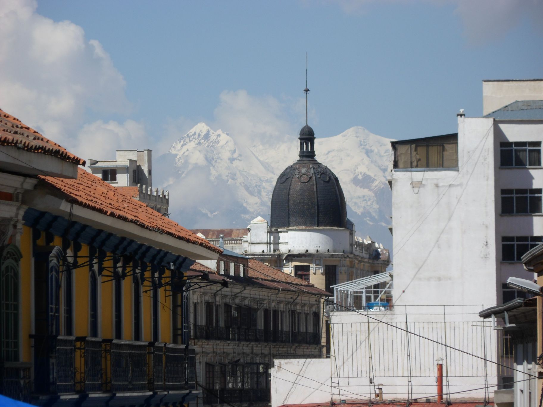
The view of the city squeezed between the hills from El Alto, the distant peak of the snow-caped Illumani and the steep uphill creeping settlements were touching me instantly. We spend two days organizing things, working a little and doing some sightseeing. Near the the footbridge over the capitals main streets through the city, young boys with wollen ski masks offer their services as sho shiners, and kind of scare the tourists. The side walks of the steep busteling roads east of the Iglesia de San Fransisco are plastered with colorful makeshift market stalls selling fruits, vegetables, radios and clothes. As usual in Latin America, street are dedicated to only one branch of products, electronics, or clothes, or food, or plumbing material. Vibrations of the outlook of prosperity and wealth seem to be omnipresent.
 On the third morning we catch an old taxi with roof carrier to bring us and our bikes some 20 kilometers out of town, to the Paso de la Cumbre at 4700 meters above sea level. Our goal is the subtropical Coroico, to warm up and cure our chapped skins after weeks in the dry and cold Altiplano. The views from the pass to the surrounding snow peaks and the lake are spectacular. At the same time, two groups of “adventure downhill cyclists” start on the same route, and we rush down some 30 kilometers of thick gritted paved road into a scenic cloud dotted valley.
Little by little the vegetation becomes more lush and vivid. There are wild flowers and trees and even wild strawberries at the side of the road. For the next ascent, the adventure cyclists are loaded into their support vans and driven up. We reach the entrance of the “Camino de la Muerte”, the death road through misty jungle and waterfalls, dropping down to 1100 meters in the end. Before the new paved road was build, that stretch of 35 kilometer gravel road, built by Paraguayan prisoners, was the only connection from La Paz to the Bolivian Amazonian areas. Often the road is no wider than two or three meters, and bordered by almost perpendicular slopes. Just imagine how trucks and buses in opposite directions could possibly pass each other. Many lost their lives here.
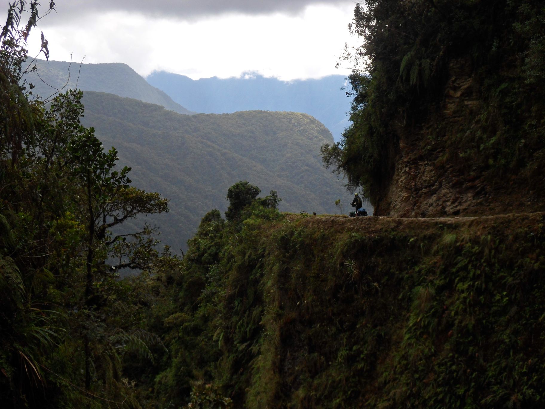 Nowadays, the road is used almost only by herds of adventure cyclist groups, and I'd consider it a nice and easy downhill ride. And I ended up flat on the gravel, platsch. Well, we've had mist, we've had rain too, but enjoyed the lush and vivid green. An Argentine motorcyclist advised us about the 8 steep cobblestone kilometers from the bottom of the valley some 700 meters up to Coroico while waiting for better weather. In the end, we could pitch our tent in Attila's “La Jungla” restaurant and were spoiled with home made pesto and pasta and the first warm night in ages. Attila, the charismatic Hungarian owner told us a lot about the area and his business while we ate great breakfast before the fierce climb to Coroico. The views were perfect, the cobblestone was slippery and bumpy, and another surprise was just around the corner: those “no see em's”, the sand flies that gave us the itch in the Caribbean already were here too to spoil Paradise!
Anyhow, we settle in a cozy bungalow in the Villa Bonita for a few days. Hummingbirds fly, flowers blossom and ripe mandarines hang from the trees of the tropical garden. And with long sleeves and socks these nasty sand flies have less impact. Just resting, reading and little bit of work for me - peace on earth!
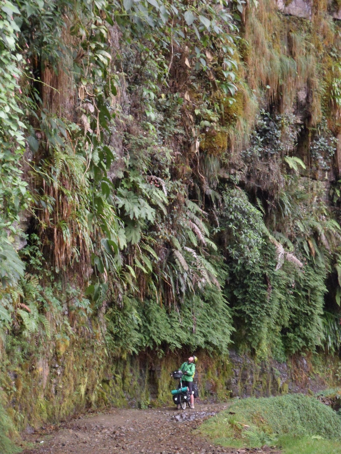
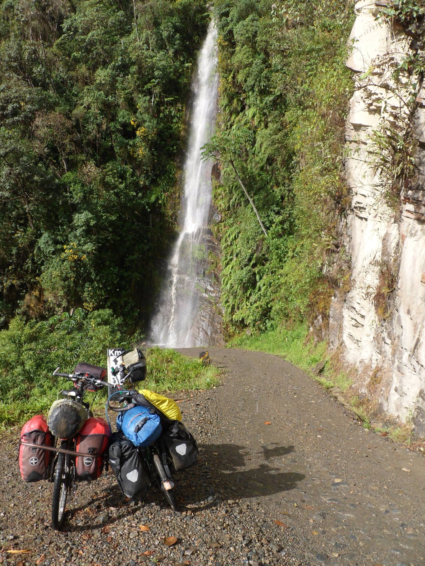 After five days in Paradise we decide to move on. Kathrin takes my luggage on the bus to La Paz, and I try to climb the Paso de la Cumbre. 11 kilometers down to 1100 meters on slippery cobblestone and dusty gravel, then the new road to La Paz climbs up to 4700m. Not as steep as some ascents in Guatemala, but steady. Serpentine by serpentine through the mountain woods I cycle on, every kilometer reveals new fantastic outlooks to the cordilleras or Coroico sitting on its cliff-like hill above the lush valleys. Half past 5, just past the Drug Control (they didn't even notice me) at 4000 meters and after 10 hrs cycling I run out of time and energy and try to hitch. A very friendly family from La Paz picks me up and brings me directly to the hotel.
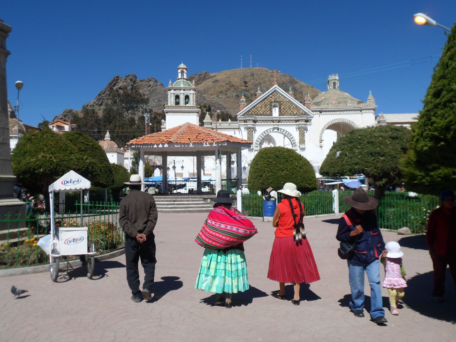
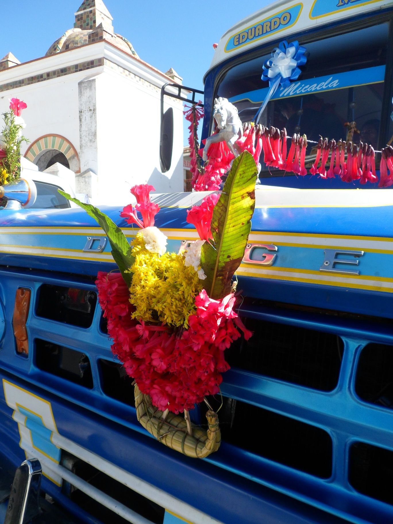
Kathrins camera is repaired, her trekking boots repaired and my new round glasses are ready. With the flights home booked and the limited time we have left, we decide to take a bus to Copacabana on the famous Titicaca lake to spare time to visit Peru. After some great views from El Alto down to La Paz, the journey continues along the Cordilleras in the Altiplano. The area seems to be more fertile that what we've seen before, with more quinoa fields and more grass land. And finally we see the incredibly blue lake Titicaca. With 180km length and 70 kilometers width it is the highest navigable and second-largest lake of South America. Some wooden boat carries our bus over the lake to the Copacabana peninsula, where we passengers have to take a little motor boat. Another hour of steep climbs and series of serpentines until we arrive in Copacabana. The town is famous for its pilgrimage church at the Plaza, the blessings of cars and the mayor tourist access point for the Isla de Sol. Hospedajes, hostales, souvenir shops and restaurants border the buzzing tourist road from the Plaza to the docks at the lake. In the evening we walk the Via Dolorosa that leads up a rocky hill with a splendid views over the town between the hills at the shore of the lake. A series of crosses are installed at the top, with concrete benches for healers and snack vendors serving the gasping and beer-thirsty pilgrims. Not long and we marvel upon the fantastic sunset over the lake, and not long after that cold winds force us back down to town.
 |
 |
The nearby Isla de Sol is the birthplace of the Inca mythology. The tourist boats to the island leave at 8:30 AM. Both finding a open restaurant before that as well as the quality of the breakfast were disappointing. The small motor boat fills up with three dozen backpackers until the last 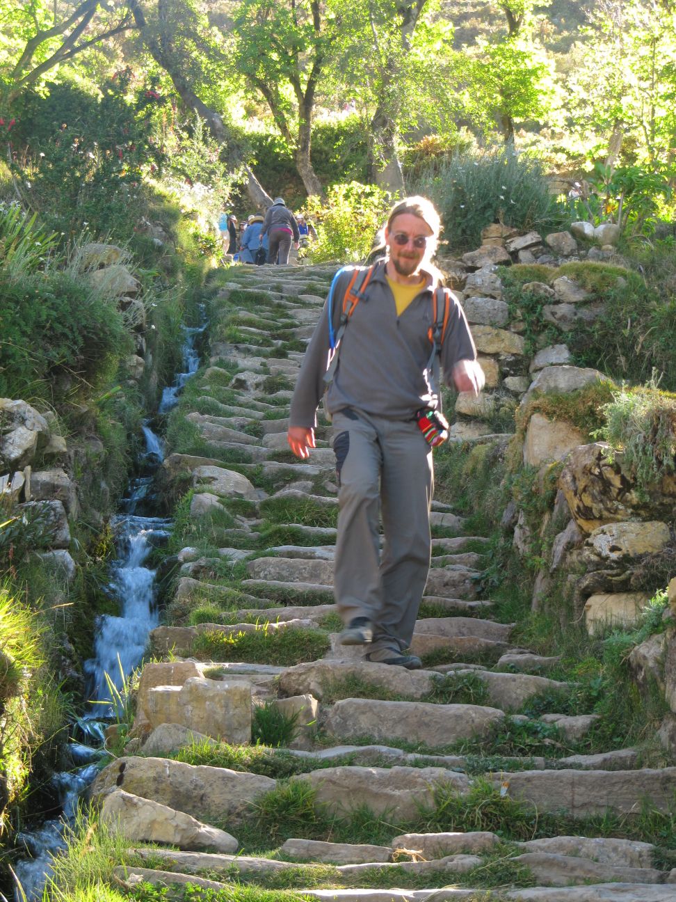 space. It takes some two and a half hours with the lulling dull sound of the small engine for the few kilometers. We finally reach the Northern village. Some kids asking four times the regular charge for the public toilet after the long boat ride torpedo my mood heavily. A hike leads to the Inca ruins and over the hills to Yumani, the Southern village of the island. From there boats would pick up the tourists and bring them back to Copacabana.
Together with the backpackers from two boats that arrived at the same time we pay the 10 Bolivianos for the ruins and venture out for the walk. Certainly I did not expect such a crowd, and in my mood I feel simply no connection to the Inca culture at the places. Half way through the hike a white banner over the stone wall bordered trail greets the backpackers, and two villagers with nicely printed tickets ask again for money - 15 Bolivianos for trail maintenance. They must have invented that toll station just recently, as the low numbers on the tickets suggest. Grumpy as can be about the short sighted tourist concept I pay the fee.
The view over the lake to the Isla de la Luna and the distant white peaks reward for the hassle, as well as the charming spirit of Yumani. Its gardens look green, and small cobblestone paths and stairs bordered by stone walls lead from the hills down to the dock. Tourism picks up here too. There are guesthouses and restaurants. A 5 Boliviano fee has to be paid for the ancient Inca Stairs, yet that seems more appropriate than the funny toll stations in the middle of nowhere. We end our visit with an endless slow boat ride back to Copacabana, and book us a night bus to Cusco, Peru for the following day. Time to leave a surprising country that I really liked, and time to head go for the last great destination of my journey.
{youtube}WhjPpZ22VxA{/youtube}